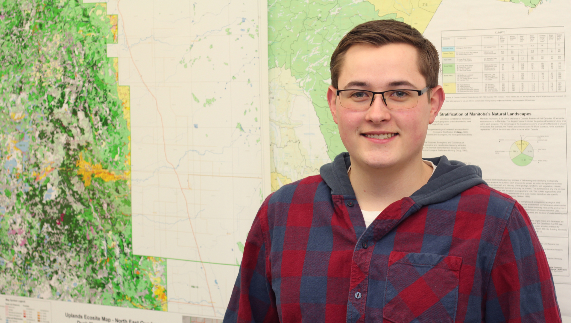
Geographic Information Systems (GIS)
Overview
No future intakes planned
We are not currently accepting applications for Geographic Information Systems as there are no future intakes planned.
Interested in exploring other program options? Contact [email protected].
Interested in exploring similar program options?
We've got you covered! Here's another great program option to consider.
Agribusiness MechatronicsCivil Technician
ALREADY HAVE A DEGREE OR DIPLOMA? GO A STEP FURTHER.
Fast-track your education journey and take advantage of one of our Advanced Diploma programs.
Assiniboine’s eight-month Geographic Information Systems (GIS) advanced diploma is a specialized technology program that focuses on techniques that allow users to capture, store, analyze, and present geographic data in user friendly interfaces such as interactive maps and dashboards.
Graduates learn how to collect and analyze geographic data, create maps and visualizations, and use GIS technology to solve real-world problems across any industry.
GIS has become an essential tool in a wide range of fields, including environmental management, urban planning, transportation, public safety, public health, and many others.
Program Details